Welcome to Nautical Charts Catalogs.
This page contains the XML formatted of freely available nautical charts
General Purpose Charts
World GSHHG basemap polygons
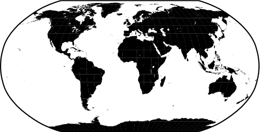
World basemap polygons, primarily for use in OpenCPN.
XML Catalog
World Pilot Charts

Raster Charts
XML Catalog
MBTiles
NOAA US Raster Nautical Charts
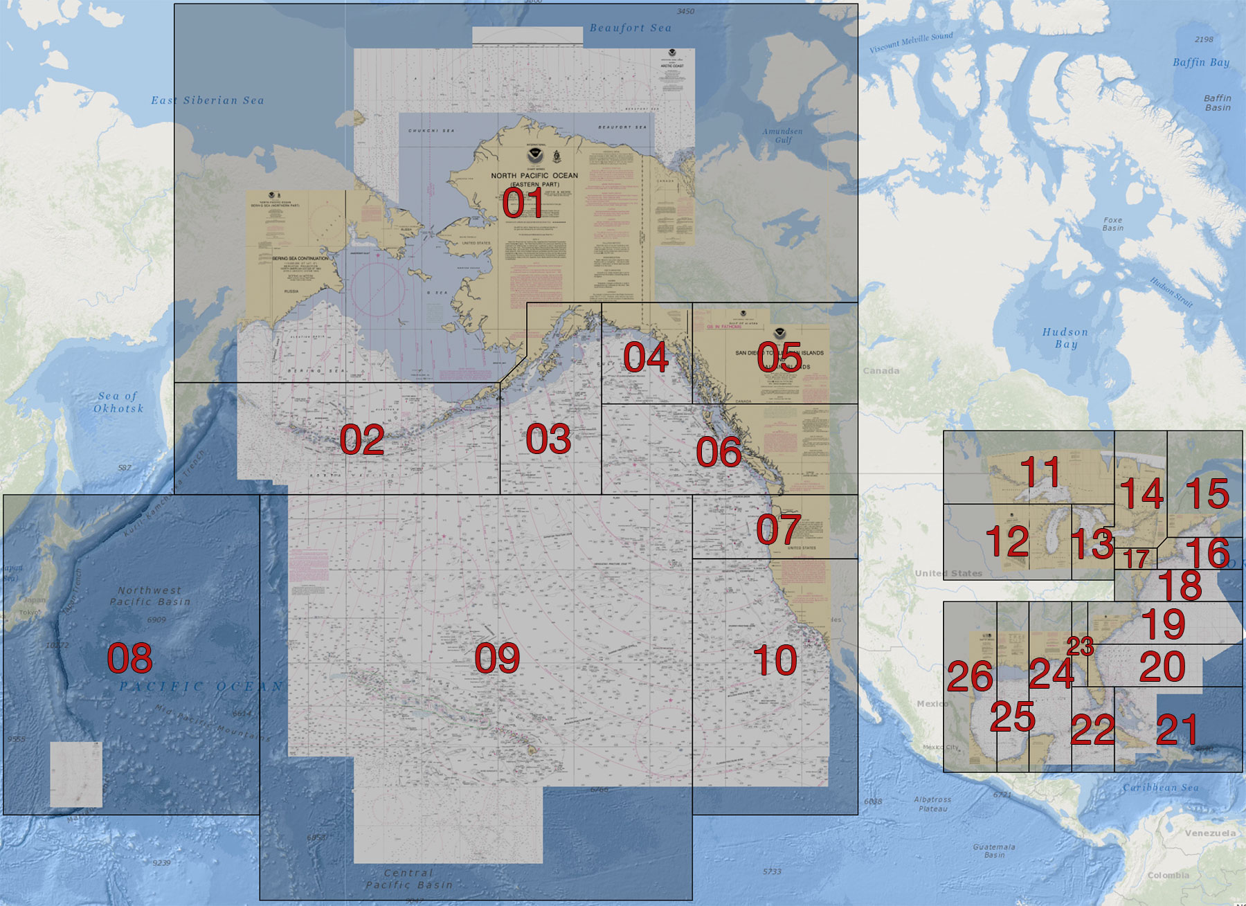
The US NOAA RNC Charts converted to MBTiles formatXML Catalog
Raster Nautical Charts
Argentina - RNC Charts
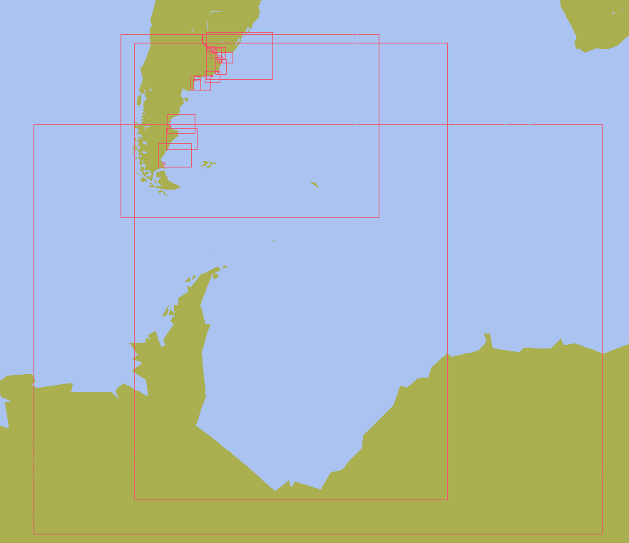
Raster nautical charts of Argentina
XML Catalog
Brasil - RNC Charts
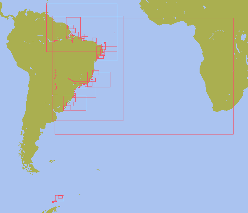
Raster nautical charts of Brasil
XML Catalog
New Zealand - RNC Charts
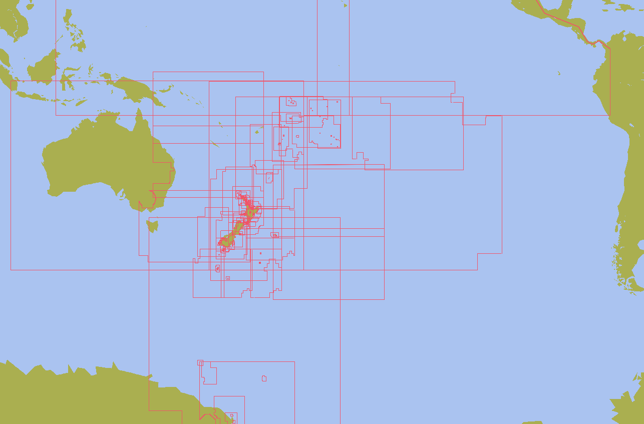
Raster nautical charts of New Zealand and Pacific Ocean
XML Catalog
Peru - RNC Charts
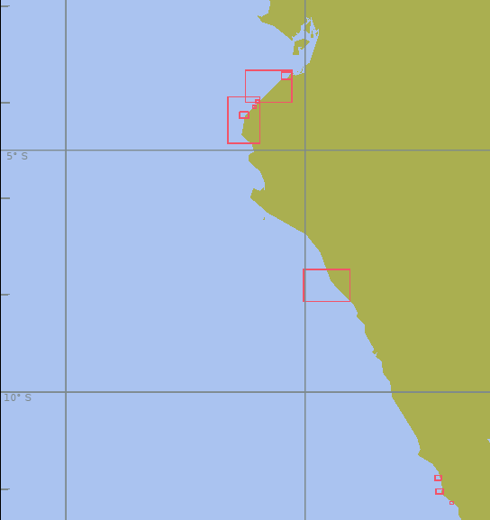
Raster nautical charts of parts of the Peruvian coast
XML Catalog
South China Sea - ENC Charts
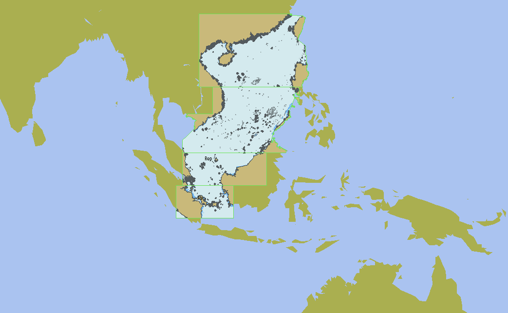
Vector nautical charts of the South China Sea
XML Catalog
European Inland Waterways ENC Charts
Austria - IENC Charts
Inland ENC charts of Austria
XML Catalog
Belgium - IENC Charts
Inland ENC charts of Belgium
XML Catalog
Bulgaria - IENC Charts
Inland ENC charts of Bulgaria
XML Catalog
Croatia - IENC Charts
Inland ENC charts of Croatia
XML Catalog
Czech Republic - IENC Charts
Inland ENC charts of Czech Republic
XML Catalog
France - IENC Charts
Inland ENC charts of France
XML Catalog
Germany - IENC Charts
Inland ENC charts of Germany
XML Catalog
Hungary - IENC Charts
Inland ENC charts of Hungary
XML Catalog
Netherland - IENC Charts
Inland ENC charts of Netherland
XML Catalog
Poland - IENC Charts
Inland ENC charts of Poland
XML Catalog
Romania - IENC Charts
Inland ENC charts of Romania
XML Catalog
Serbia - IENC Charts
Inland ENC charts of Serbia
XML Catalog
Switzerland - IENC Charts
Inland ENC charts of Switzerland
XML Catalog